Land Value Calculator: How the RawLand AI Valuation Tool Prices Your Parcel
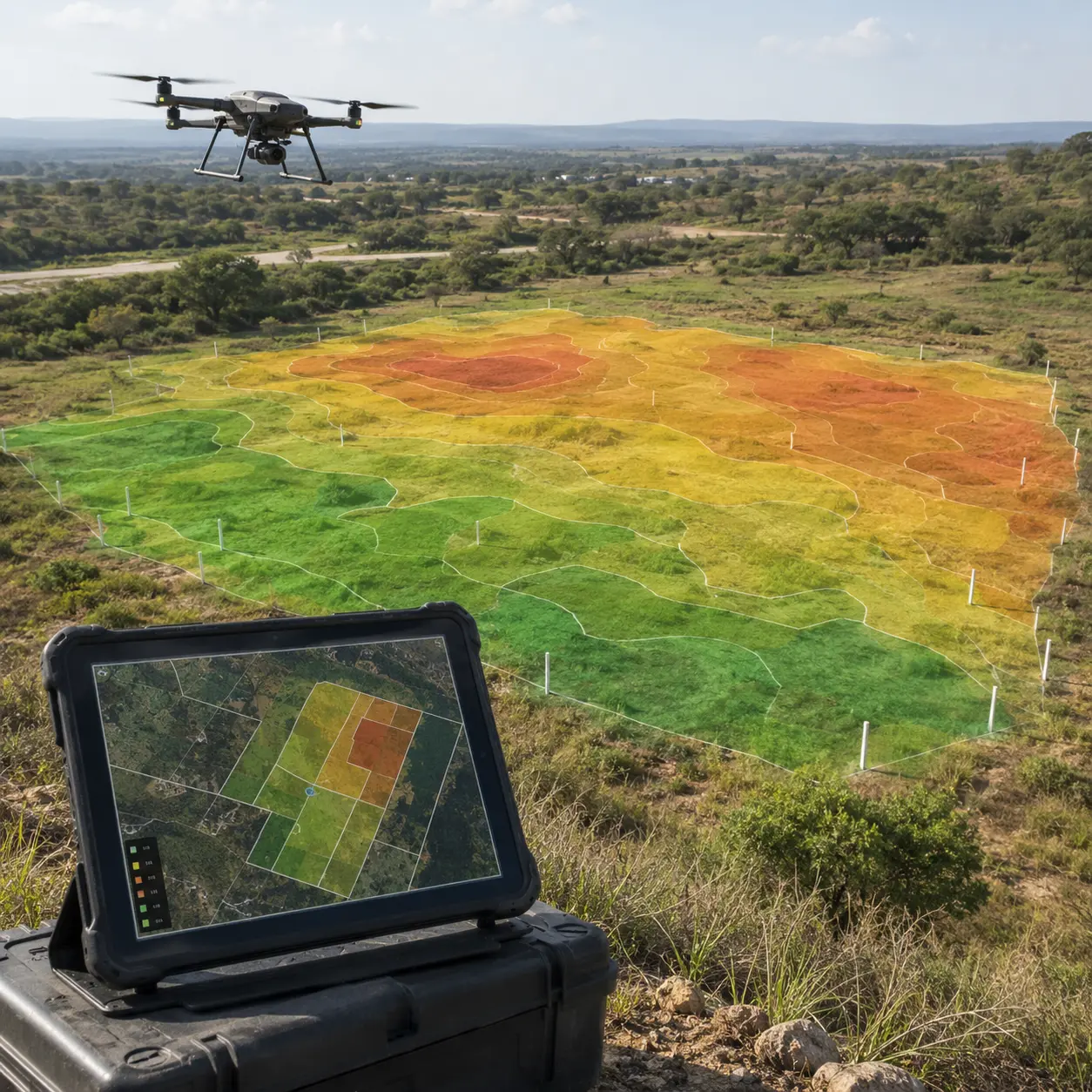
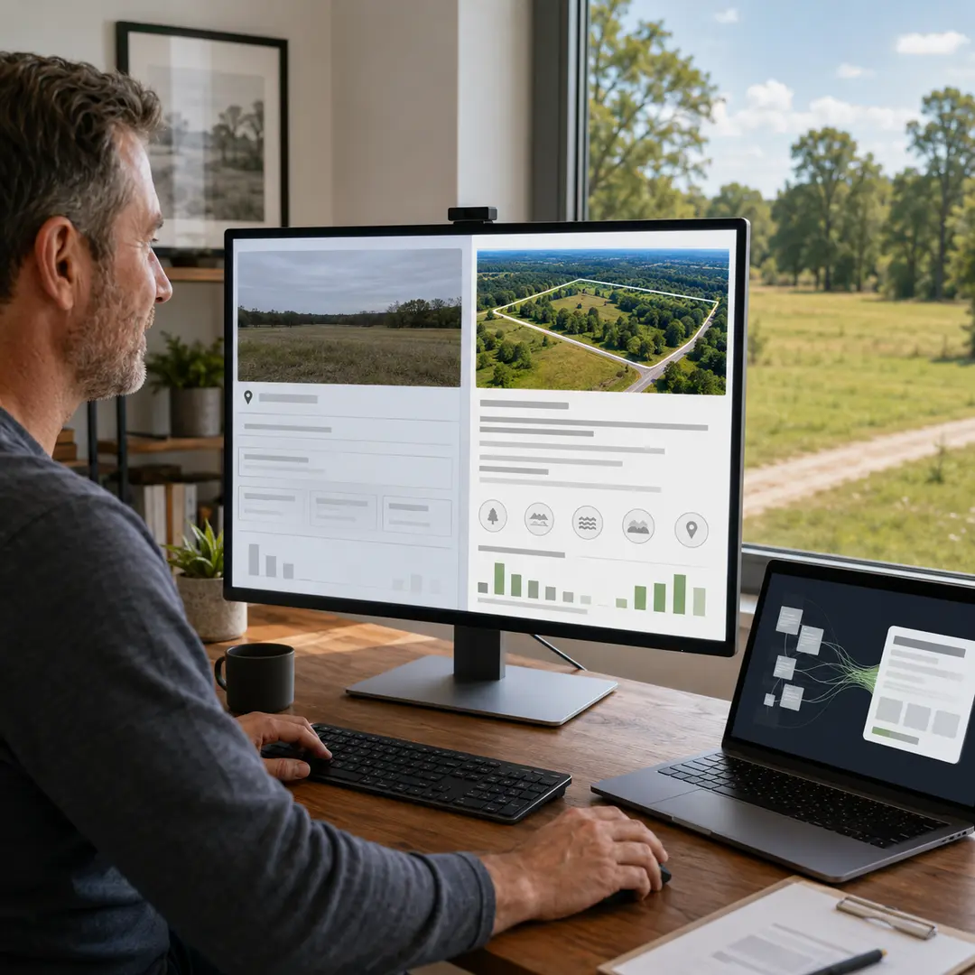
The RawLand AI land value calculator analyzes 40+ data points and real comparable sales to return a market value range with a confidence score in about 60 seconds.
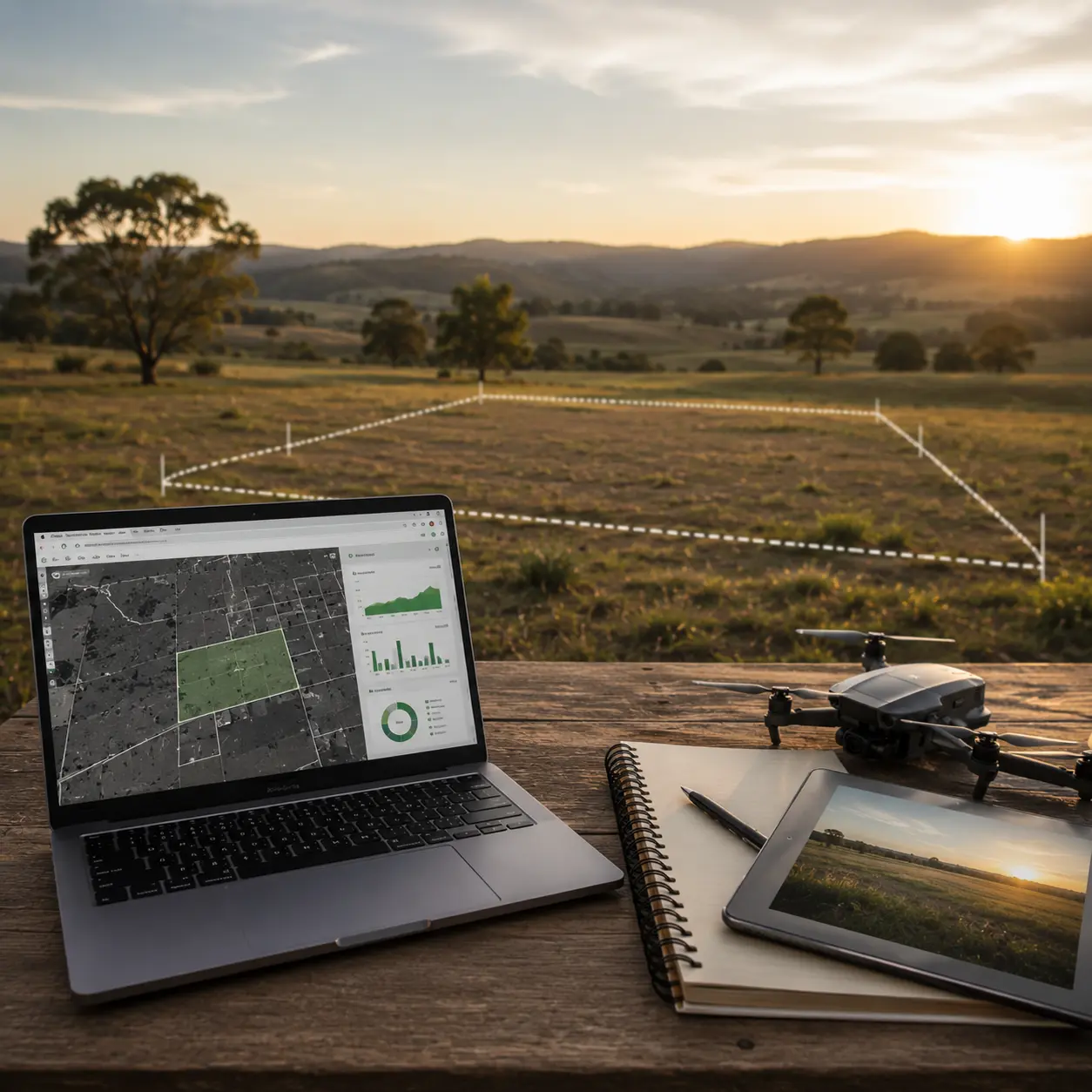
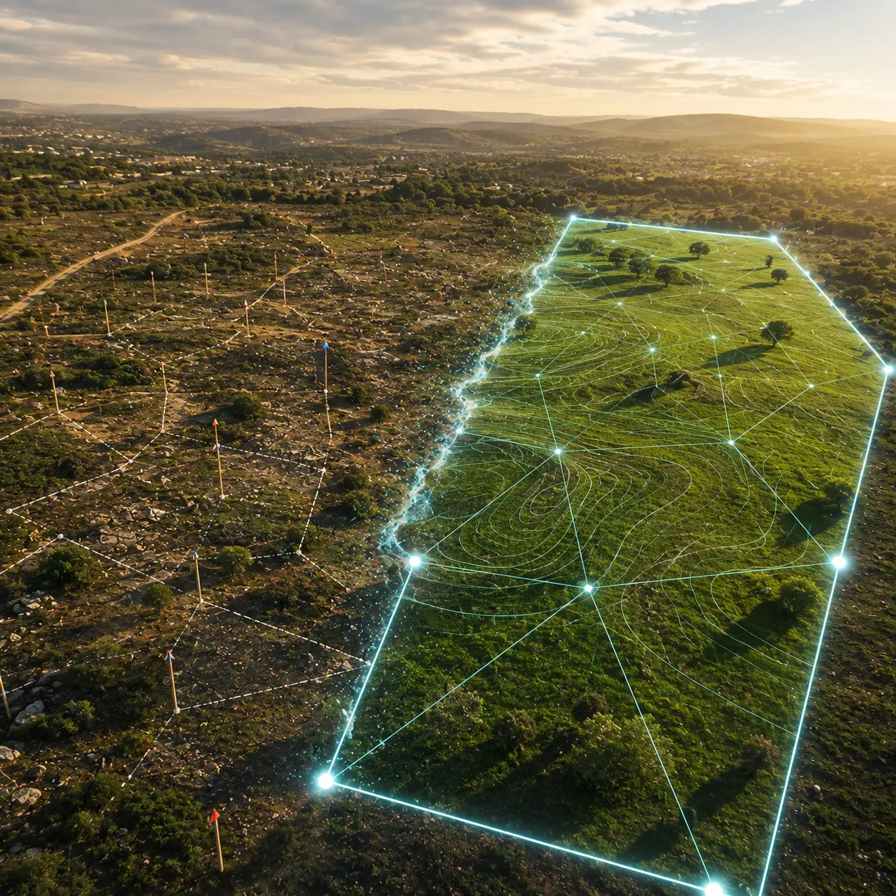
AI reads the federal map layers well and the transaction layers badly, so its environmental screening is far more reliable than its pricing.
Land data sits in 3,144 separate county systems with no national program, so the cost of the gap is mispricing rather than slow sales.
A model estimating a parcel’s value from comparable sales and parcel data, in seconds. Useful as a first screen, not an appraisal.
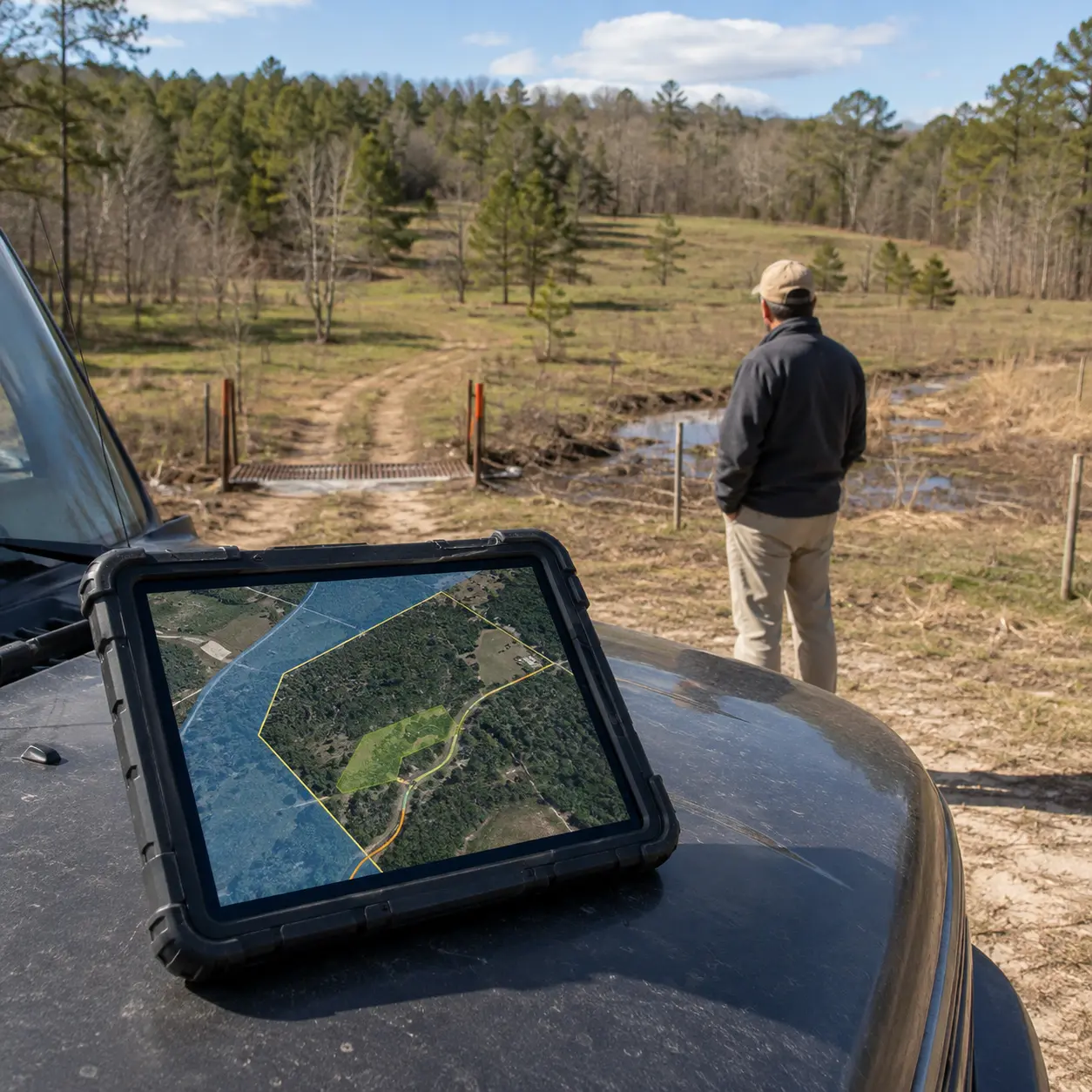
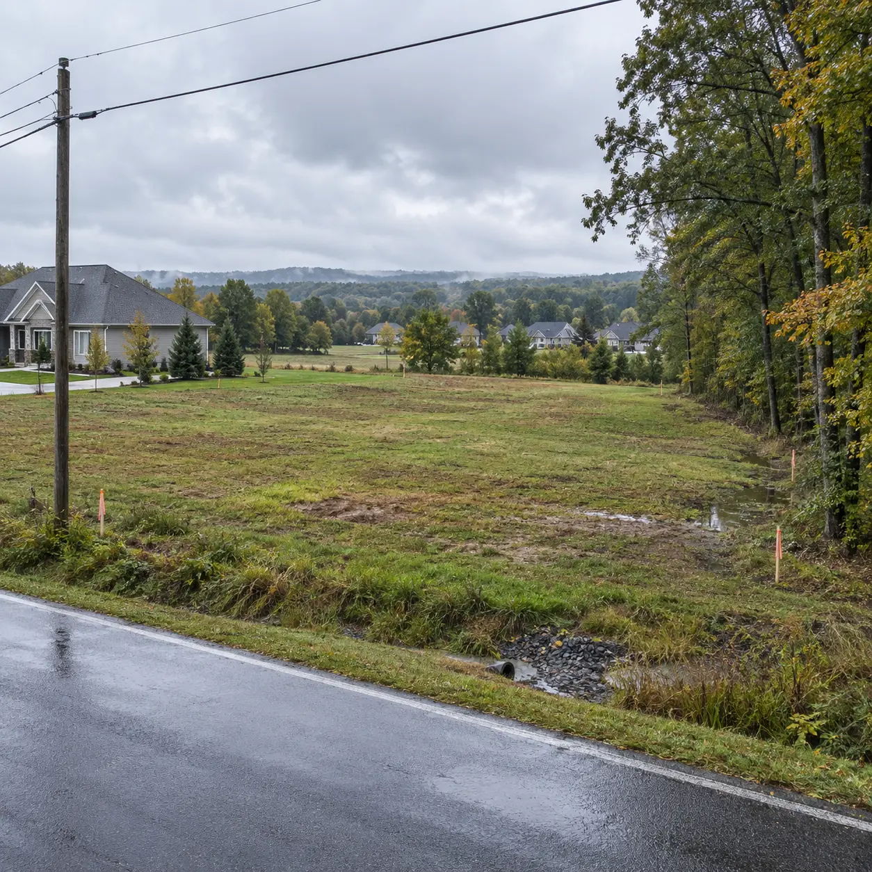
Check the flood map, the soil survey, the wetlands inventory and the recorded access. Four free federal and county sources answer most of it.
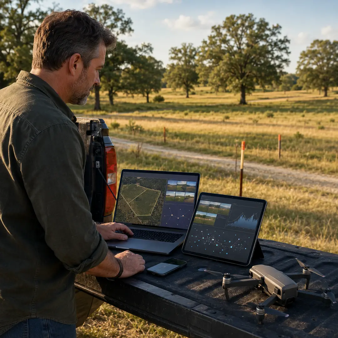
Run an AI land estimate, read it as a range, adjust for what the model cannot see, then validate against recent sold comparables before pricing.
AI can replace a land appraiser for quick pricing decisions, but not for financing, legal, or tax needs, where a licensed appraisal is still required.
An AI land listing description reworks your parcel data into buyer-focused copy that leads with the strongest feature and includes the terms buyers search.
AI land valuation works by feeding comparable land sales and dozens of parcel factors into a machine learning model that outputs a value range with a confidence score.
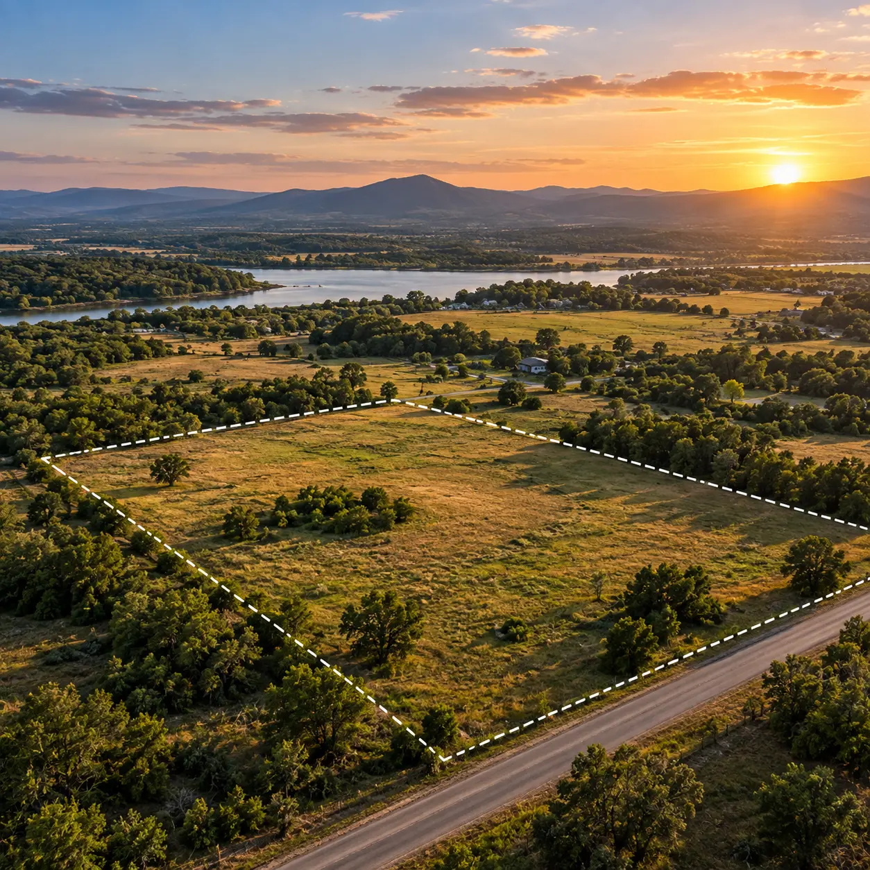
AI tools for selling land price your parcel, write the listing, flag flood and access risks, and reach buyers faster, but only land-trained tools are reliable.